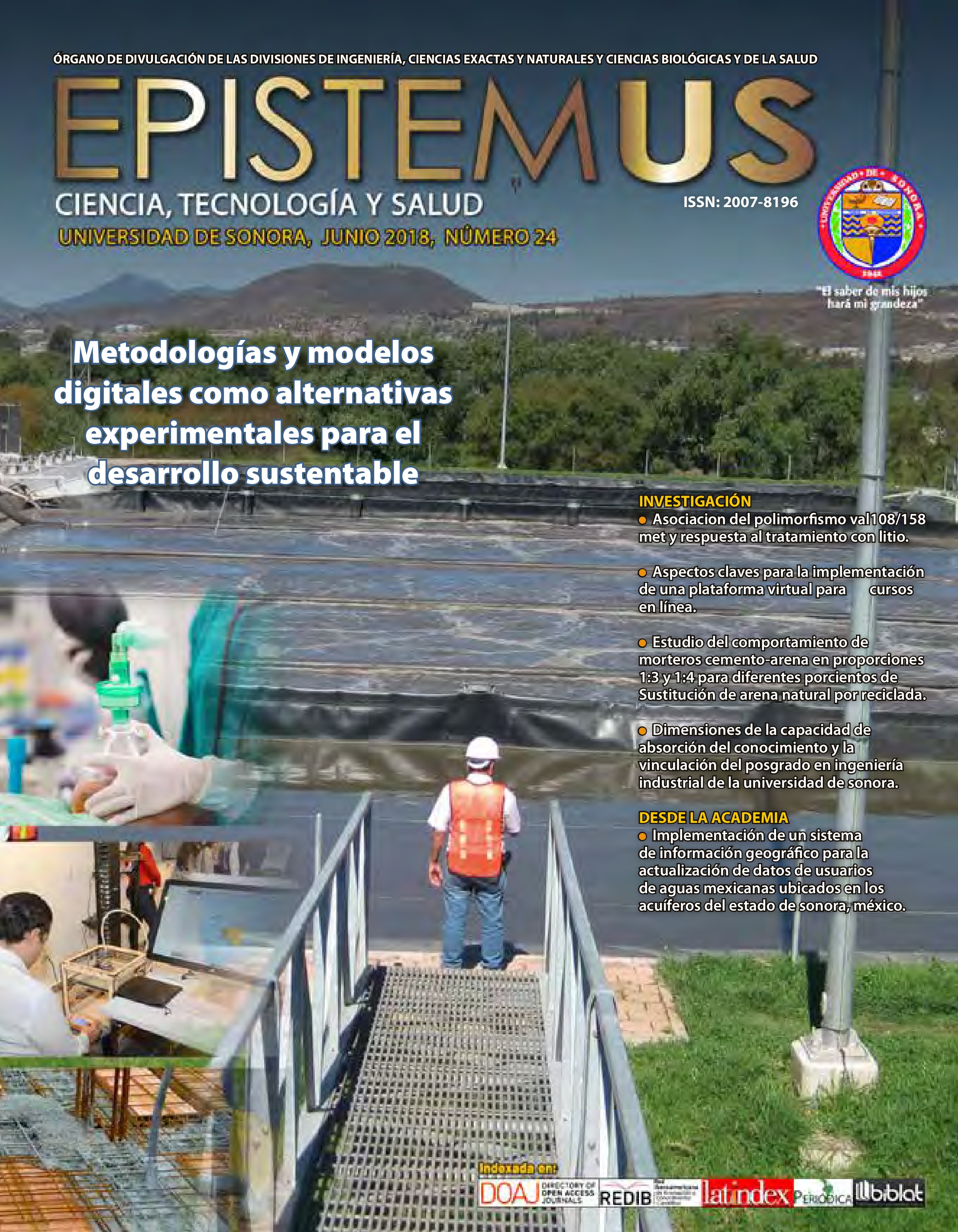
IMPLEMENTACIÓN DE UN SISTEMA DE INFORMACIÓN GEOGRÁFICO PARA LA ACTUALIZACIÓN DE DATOS DE USUARIOS DE AGUAS MEXICANAS UBICADOS EN LOS ACUÍFEROS DEL ESTADO DE SONORA, MÉXICO.
DOI:
https://doi.org/10.36790/epistemus.v12i24.61Palabras clave:
Sistemas, Acuiferos }, Información geográficaResumen
Este proyecto presenta el marco conceptual de una metodología sobre la implementación de un sistema de información geográfica (SIG) para la actualización de datos de usuarios de aguas mexicanas ubicados en los acuíferos del Estado de Sonora, México. Este SIG, se basa en el análisis del contenido para el proceso de actualización de datos de usuarios propietarios de aprovechamientos de recursos hídricos, con el fin de presentar algunos elementos relacionados a establecer ventajas competitivas en las organizaciones que necesiten mejorar la actualización de datos de usuarios mediante un SIG. Las soluciones a los problemas relacionados con el agua dependen de muchos factores, entre los que se encuentran las instituciones que la administran, los procesos mediante los cuales se gestiona el agua, condiciones socio-políticas, el desarrollo y las prácticas de gestión y Los marcos jurídicos existentes. En esta situación, las soluciones innovadoras, como la recarga de las aguas sub-terraneas, los cambios en la estructura de tarifas de agua, el análisis institucional y técnica de manejo de datos como SIG están ganando....
Descargas
Citas
Navarro José., Collado, Julián. (2009), “Practicas de SIG con ArcGIS”, Editorial Universidad Politécnica de Valencia, Vol. 1, pp. 9-21.
Moreno Jimenez, Antonio. (2008), “Sistemas y análisis de la información geográfica: manual de autoaprendizaje con ArcGIS”, Editorial Alfaomega, Vol. 2, pp. 233-245.
Wang Fanfang., Yang Han. (2009), “Study of the cultivated land and its salinization in the delta of Weigan River based on RS and GIS”, Bingchuan Dongtu = Journal of Glaciology and Geocryology, Vol. 31 No. 4, pp. 672-678.
Kumar G. Satish (2011), “Delineation of ground water potential zones using remote sensing and GIS in and around Holenarasipur schist belt, Karnataka, India.”, Recent developments in ground water research in India, Vol. 26 No. 2, pp. 147-150.
Varade Abhay M., Wadwekar Madhura, Kolte Dilip, Dongre K. P., Khare, Y. D. (2011), “Identification of ground water potential zones in and around Nagpur City, Maharashtra using remote sensing and GIS.”, Gondwana Geological Magazine, Vol. 26 No. 2, pp. 129-138.
D’Ercole Cecilia., Knox-Robinson., Carl M. (1997), “Application of a geographic information system for assessing MVT mineralisation potential of the southeastern Lennard Shelf, Western Australia.”, Proceedings of the Biennial SGA Society for Geology Applied to Mineral Deposits Meeting, Vol. 4, pp. 855-857.
Chenini Ismail., Ben Mammou Abdallah., El May Moufida. (2010), “Groundwater recharge zone mapping using GIS-based multi-criteria Albacete Spain analysis; a case study in central Tunisia (Maknassy Basin)”, Water Resources Management, Vol. 24 No. 5, pp. 931-939. DOI: https://doi.org/10.1007/s11269-009-9479-1
Castano Santiago., Sanz David., Gomez-Alday Juan J. (2010). “Methodology for quantifying groundwater abstractions for agriculture via remote sensing and GIS.”, Water Resources Management., Vol. 24, No. 4, 795-814. DOI: https://doi.org/10.1007/s11269-009-9473-7
Kim Sung-Min., Choi Yosoon., Suh Jangwon., Oh Sungchan., Park Hyeong-Dong., Yoon Suk-Ho. (2012) “ArcMine; a GIS extension to support mine reclamation planning”, Computers & Geosciences, Vol. 46, pp. 84 - 95. DOI: https://doi.org/10.1016/j.cageo.2012.04.007
McHugh Michael., Brand Cortney., Crawford Jim. (2002) “GIS-based quantification of groundwater availability for City of Aurora”, American Water Resources Association Technical Publication Series, Vol. 2, No. 2, pp. 341-346.
Rindahl, Bruce. (2002) “Linking consumptive use, surface water, and ground water models to create a decision support system; the GIS component.”, American Water Resources Association Technical Publication Series, Vol. 2, No. 2, pp. 317-322.
Hall Grahame., Cratchley Roger., Johnson, Sarah. (2006) “The use of SAGA-GIS in an integrated meteorological/hydrological model for the Mawddach River catchment, north Wales.Novatica,”, Goettinger Geographische Abhandlungen, Vol. 115, pp. 53-60.
Levine Norman S., Clancy Kathleen E., Paz Emma L., Kaufman Charlie C. (2011) “Understanding local impacts of sea level rise; a GIS-based analysis in Charleston, SC.”, Abstracts with Programs Geological Society of America, Vol. 43, No. 2, pp. 25-26.
Ketchum Winn A. (2011) “Using GIS to analyze spatial distribution and taphonomic processes of the extinct tapir Tapirus polkensis at the Gray Fossil Site, Gray, Tennessee.”, Abstracts with Programs Geological Society of America, Vol. 43, No. 2, pp. 25.
Van Hoesen John G., Orndorff Richard L. (2011) “The morphology and spatial distribution of late Quaternary periglacial landforms, Snake Range, Nevada; a GIS-based approach to prioritizing field sites.”, Journal of the ArizonaNevada Academy of Science, Vol. 43, No. 1, pp. 48-60. DOI: https://doi.org/10.2181/036.043.0107
Singh Vivek Kumar., Reddy D. V. R., Jayaswal Abhishek. (2008) “A study on information extraction and assessment of spatial distribution of overburden dumps in a coal mining area using remote sensing and GIS techniques.”, International Journal of Earth Sciences and Engineering, Vol. 4, No. 3, pp. 98-101.
Chenini Ismail., Ben Mammou Abdallah. (2010). “Ground water recharge study in arid region; an approach using GIS techniques and numerical modeling.”, Computers & Geosciences, Vol. 36, No. 6, pp. 801-817. DOI: https://doi.org/10.1016/j.cageo.2009.06.014
Nuno Nicholas C., Davis Richard B., Steltenpohl Mark., Fousek Bob., West Randy. (2010). “GIS applications by industry of geologic and other pertinent data related to aggregate exploration and mining.”, Abstracts with Programs Geological Society of America, Vol. 42, No. 5, pp. 605.
Kerski Joseph., Agrios Bronwyn., Johnson Ann., Lee, Angela. (2009). “New tools for investigating geoscience using GIS.” Abstracts with Programs Geological Society of America, Vol. 41, No. 7, pp. 317.
Russell Gail S. (2009). “Using Google Earth and GIS to facilitate access to geological information in state and local geological society guidebooks; northern Alabama Piedmont, 1973 to 2008.”, Abstracts with Programs Geological Society of America., Vol. 41, No. 7, pp. 288-289.
Futrell Mike. (2009) “Terrain modeling and GIS techniques for cave expeditions in China.”, Proceedings of the International Congress of Speleology, Vol. 3, pp. 2078-2082.
Descargas
Publicado
Cómo citar
Número
Sección
Licencia

Esta obra está bajo una licencia internacional Creative Commons Atribución-NoComercial-SinDerivadas 4.0.
La revista adquiere los derechos patrimoniales de los artículos sólo para difusión sin ningún fin de lucro, sin menoscabo de los propios derechos de autoría.
Los autores son los legítimos titulares de los derechos de propiedad intelectual de sus respectivos artículos, y en tal calidad, al enviar sus textos expresan su deseo de colaborar con la Revista Epistemus, editada semestralmente por la Universidad de Sonora.
Por lo anterior, de manera libre, voluntaria y a título gratuito, una vez aceptado el artículo para su publicación, ceden sus derechos a la Universidad de Sonora para que la Universidad de Sonora edite, publique, distribuya y ponga a disposición a través de intranets, internet o CD dicha obra, sin limitación alguna de forma o tiempo, siempre y cuando sea sin fines de lucro y con la obligación expresa de respetar y mencionar el crédito que corresponde a los autores en cualquier utilización que se haga del mismo.
Queda entendido que esta autorización no es una cesión o transmisión de alguno de sus derechos patrimoniales en favor de la mencionada institución. La UniSon le garantiza el derecho de reproducir la contribución por cualquier medio en el cual usted sea el autor, sujeto a que se otorgue el crédito correspondiente a la publicación original de la contribución en Epistemus.
Salvo indicación contraria, todos los contenidos de la edición electrónica se distribuyen bajo una licencia de uso y Attribution-NonCommercial-ShareAlike 4.0 International (CC BY-NC-SA 4.0) Puede consultar desde aquí la versión informativa y el texto legal de la licencia. Esta circunstancia ha de hacerse constar expresamente de esta forma cuando sea necesario.


